


The GeoJunxion Geocoder is a powerful geo-location tool for transforming a postal address into numerical coordinates, and even validate or correct the address entered. This process is called ‘forward geocoding’, or simply ‘geocoding’. GeoJunxion also offers ‘reverse geocoding’, which converts the numerical coordinates of a specific location into an address, usually the name of a place or a postal address.
KEY FEATURES
• Forward Geocoding
• Reverse Geocoding
• Free form and Structured address search
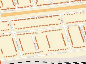
• House number ranges, interpolated, extrapolated and true rooftops.
TYPICAL USE CASES
Geocoding and reverse geocoding are part of many use cases across various industry verticals Geocoding can be part of: turn-by-turn navigation, routing, geofencing, local search, GIS analysis, geotagging and track & trace.
BENEFITS
In most of the cases, the geocoder will be used to get numerical coordinates referring to a specific address, in order to perform geospatial analysis.
PROJECTION
The global projection system used in GeoJunxion data is in decimal degrees (latitude and longitude) with WGS84 as datum, according to the ellipsoid model used for computations. Its spatial reference ID is EPSG:4326.
CHARACTER SET
The Unicode character-set used in the names, is in UTF-8.
COVERAGE
Europe + North America
Getting started
With an API key you will be able to access the related API and if applicable your usage will be automatically tracked and billed. Just click on the “GET YOUR FREE API KEY” button above, to apply for a free trial. Your API key will be between 30 and 128 characters long.