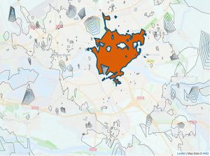
GeoJunxion offers a high-performance time distance matrix API (1000*1000), that can be used for planning applications, which involve cars, trucks, bikes, pedestrians, field force technicians and mobile sales force a.o.
Time Distance Matrices are used as a routing component feature. Usually, as an input to solve single user scenarios known as the Travelling Salesman Problem (TSP) or multiple user scenarios known as the Vehicle Routing Problem (VRP).
By entering up to 1000 origins and up to 1000 destinations, and using various routing options (shortest, fastest, safest, most efficient), the travel times and travel distances will be provided as a matrix, which can be used in planning or routing applications.

KEY FEATURES
- Can handle time distance calculations up to 1000 origins and up to 1000 destinations (1000*1000)
- Enter x/y coordinates of the locations
- Travel times and travel distances in The Netherlands
- Powered by the latest update of the proprietary GeoJunxion Navigation Map of The Netherlands.
TYPICAL USE CASES
GeoJunxion’s Time Distance Matrix is used for Logistics Planning, Fleet Management and Asset Management a.o., in order to support planning optimization. For example by:
- Improving the process
- Reducing transport costs
- Improving the use of assets
PROJECTION
The global projection system used in GeoJunxion data is in decimal degrees (latitude and longitude) with WGS84 as datum, according to the ellipsoid model used for computations. The spatial reference id is EPSG:4326.
CHARACTER SET
The Unicode character-set used in the names, is in UTF-8.
Getting started
With an API key you will be able to access the related API and if applicable your usage will be automatically tracked and billed. Just click on the “GET YOUR FREE API KEY” button above, to apply for a free trial. Your API key will be between 30 and 128 characters long.


