


GeoJunxion released the ZIP+4 Postal Code Boundaries as first company in the market to present this product. The data represents a boundary file that defines each unique ZIP+4 code area in the United States. GeoJunxion has expanded the ZIP+4 code into boundaries and polygons which can be accessed via API calls. The data is updated regularly and offers an unique accurate boundary providing.
KEY FEATURES
Forward geocoding of an address or ZIP+4
Reverse geocoding of an address or ZIP+4
TYPICAL USE CASES
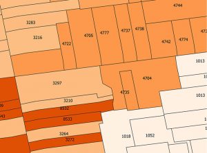
With its very refined segmentation the ZIP+4 data represents the ideal product for highly precise and at the same time anonymous geomarketing, route planning, parcel service, additional administrative level, searchability and geocoding.
PROJECTION
The global projection system used in GeoJunxion data is in decimal degrees (latitude and longitude) with WGS84 as datum, according to the ellipsoid model used for computations. The spatial reference id is EPSG:4326.
CHARACTER SET
The character-set used is the ANSI page code 1252 (latin1).
Getting started
With an API key you will be able to access the related API and if applicable your usage will be automatically tracked and billed. Just click on the “GET YOUR FREE API KEY” button above, to apply for a free trial. Your API key will be between 30 and 128 characters long.